File:Concord NH Aerial 2011 03.jpg: Difference between revisions
From Asylum Projects
Jump to navigationJump to search
CSH aerial image, circa 2010. Image credit: Bing Maps. |
M-Explorer (talk | contribs) No edit summary |
||
| Line 1: | Line 1: | ||
CSH aerial image, circa 2010. Image credit: Bing Maps. | CSH aerial image, circa 2010. Image credit: Bing Maps. | ||
[[Category:Aerial Image]] | |||
Latest revision as of 00:12, 27 August 2014
CSH aerial image, circa 2010. Image credit: Bing Maps.
File history
Click on a date/time to view the file as it appeared at that time.
| Date/Time | Thumbnail | Dimensions | User | Comment | |
|---|---|---|---|---|---|
| current | 14:40, 19 November 2011 | 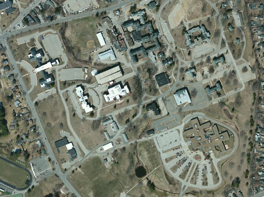 | 1,004 × 750 (289 KB) | Thomasp94 (talk | contribs) | CSH aerial image, circa 2010. Image credit: Bing Maps. |
You cannot overwrite this file.
File usage
The following 2 pages use this file: