File list
From Asylum Projects
This special page shows all uploaded files.
| Date | Name | Thumbnail | Size | Description | Versions |
|---|---|---|---|---|---|
| 22:02, 18 May 2012 | wisctrempcounty.png (file) |  |
671 KB | 1 | |
| 22:07, 18 May 2012 | wiscvernon.png (file) |  |
559 KB | 1 | |
| 22:09, 18 May 2012 | wiscvernon1.png (file) |  |
663 KB | 1 | |
| 22:11, 18 May 2012 | wiscwalworth.png (file) |  |
733 KB | 1 | |
| 22:15, 18 May 2012 | wiscwaupaca.png (file) |  |
785 KB | 1 | |
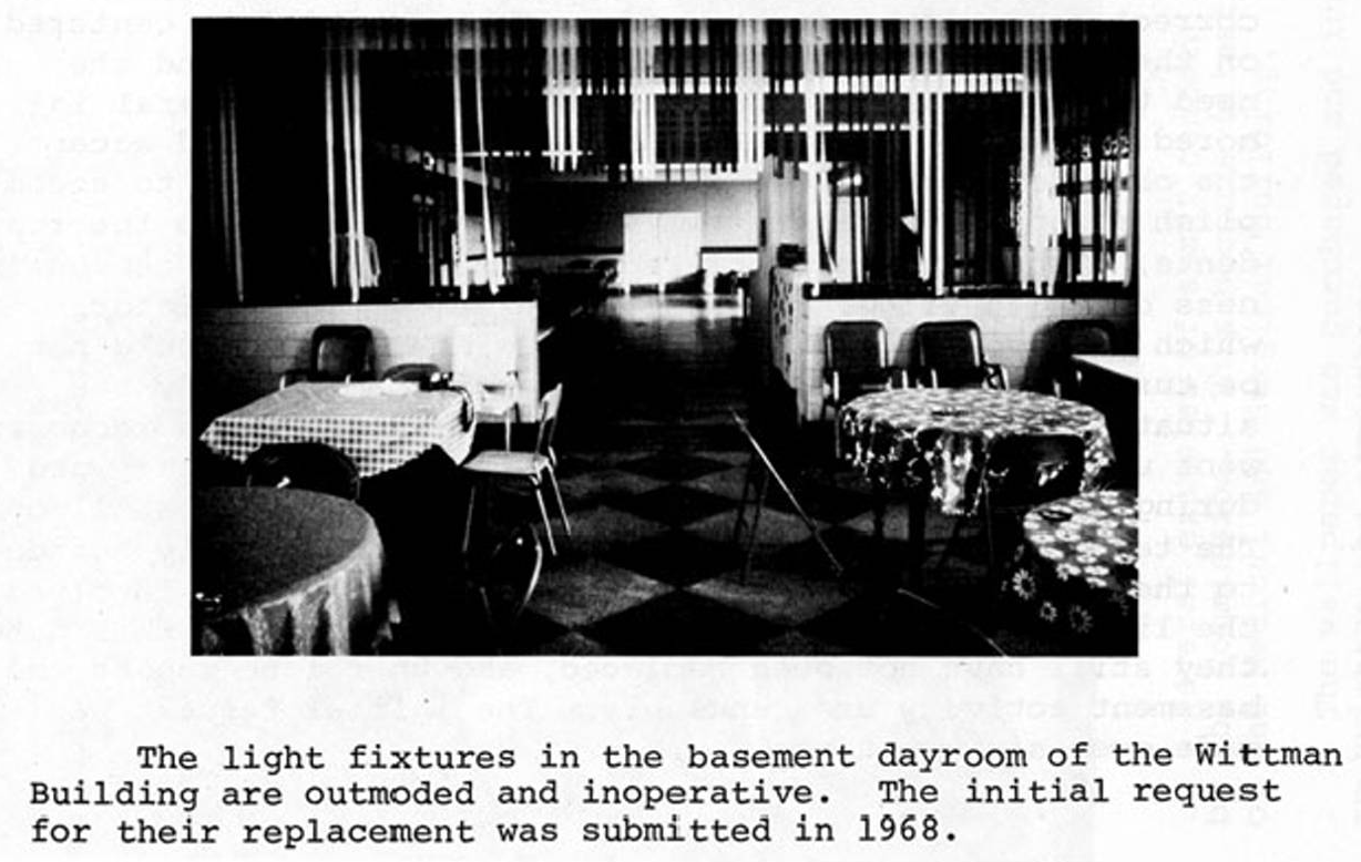
| 22:22, 13 January 2012 | wittman.png (file) |  |
1,016 KB | 1 | |
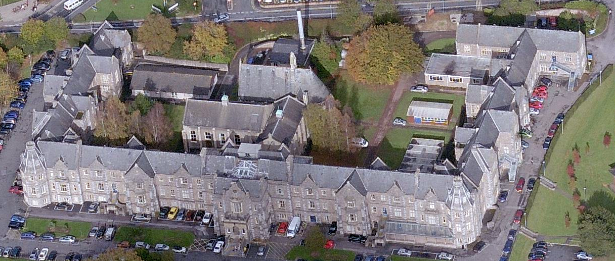
| 23:59, 2 March 2015 | wonfordaerial.png (file) |  |
1.26 MB | Aerial image of the hospital as it stands today, courtesy Bing Images. Category:Aerial Image | 1 |
| 18:50, 14 February 2012 | woodcounty.jpg (file) |  |
31 KB | 1 | |
| 19:07, 14 February 2012 | woodcounty2.png (file) |  |
334 KB | 1 | |
| 07:45, 2 July 2020 | woodfordcoIL.png (file) |  |
587 KB | 1910 photo | 1 |
| 22:40, 7 May 2013 | woodilee1.png (file) |  |
348 KB | Category:Exterior | 1 |
| 22:34, 7 May 2013 | woodilee1900.png (file) |  |
349 KB | Aerial photo ca. 1920s Category:Aerial Image | 1 |
| 23:02, 6 July 2012 | woodlands1.png (file) |  |
118 KB | Cedar building, circa 1940s | 1 |
| 22:58, 6 July 2012 | woodlands2.png (file) |  |
149 KB | 1 | |
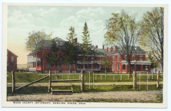
| 01:01, 29 January 2014 | woodlandsPC.png (file) |  |
860 KB | Category:Postcard | 1 |
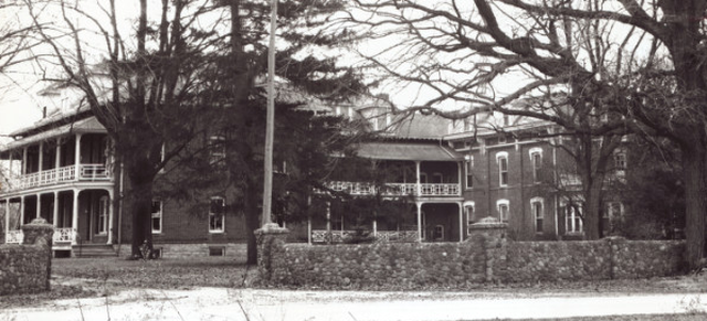
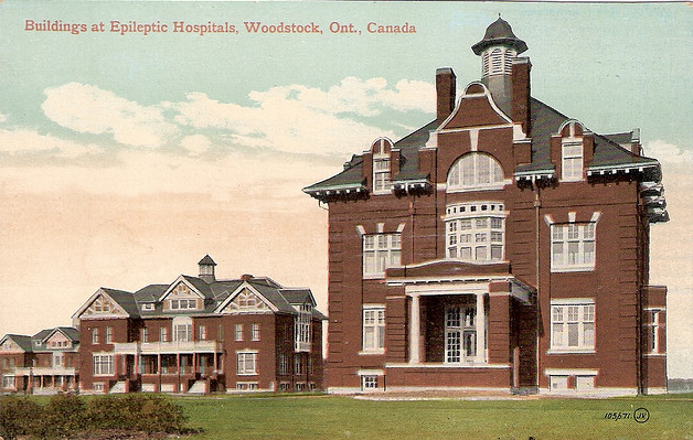
| 21:19, 17 July 2012 | woodstock.png (file) |  |
295 KB | 1 | |
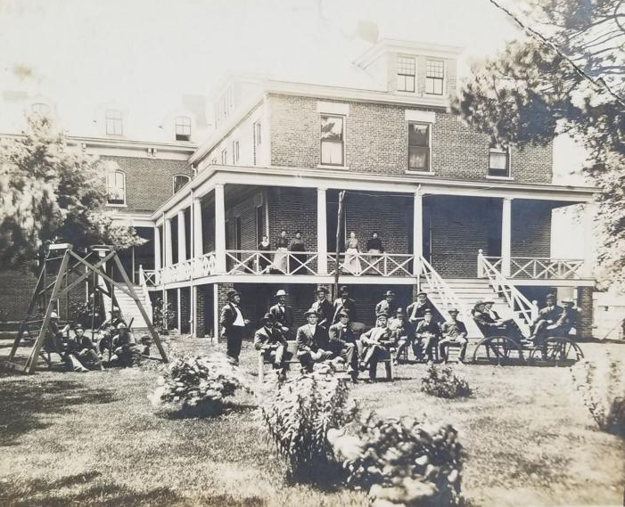
| 21:26, 17 July 2012 | woodstock1.jpg (file) |  |
122 KB | 1 | |
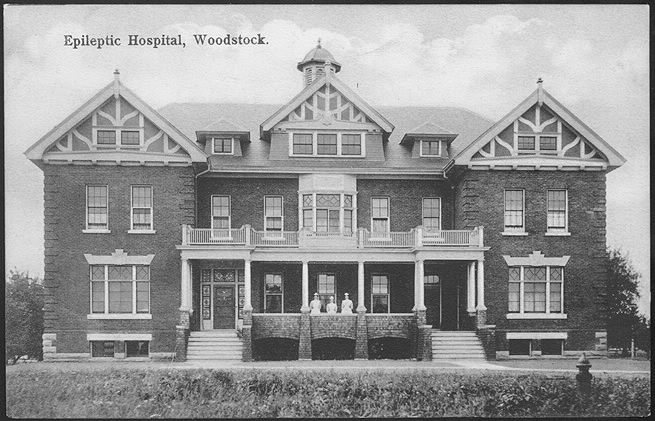
| 21:27, 17 July 2012 | woodstock2.png (file) |  |
396 KB | 1 | |
| 21:28, 17 July 2012 | woodstock3.png (file) |  |
316 KB | 1 | |
| 21:21, 17 July 2012 | woodstock4.png (file) |  |
204 KB | 1 | |
| 21:17, 17 July 2012 | woodstock5.png (file) |  |
489 KB | 1 | |
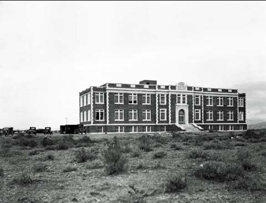
| 21:33, 17 July 2012 | woodstock6.png (file) |  |
766 KB | Early 1960s aerial photo showing both campuses of the hospital; A-N for epileptics & O-V for tuberculosis. | 1 |
| 21:34, 17 July 2012 | woodstock7.png (file) |  |
220 KB | 1 | |
| 21:20, 17 July 2012 | woodstock8.png (file) |  |
601 KB | 1 | |
| 21:30, 17 July 2012 | woodstock9.png (file) |  |
450 KB | 1 | |
| 22:22, 19 August 2014 | woogaroo.png (file) |  |
449 KB | Undated map Category:Floor Plans and Maps | 1 |
| 22:18, 19 August 2014 | woogarooaerial.png (file) |  |
627 KB | Undated aerial photo, courtesy Queensland Historical Atlas. Category:Aerial Images | 1 |
| 21:56, 29 April 2015 | worcester11.png (file) |  |
774 KB | 1 | |
| 22:30, 18 May 2012 | worcetserPC60s.jpg (file) |  |
87 KB | 1 | |
| 22:29, 5 July 2013 | wyomingSHevan.png (file) |  |
136 KB | 1 | |
| 22:00, 5 July 2013 | wyomingsan.png (file) |  |
165 KB | 1 | |
| 21:34, 5 July 2013 | wyomingstateschool.png (file) |  |
179 KB | Category:Postcard | 1 |
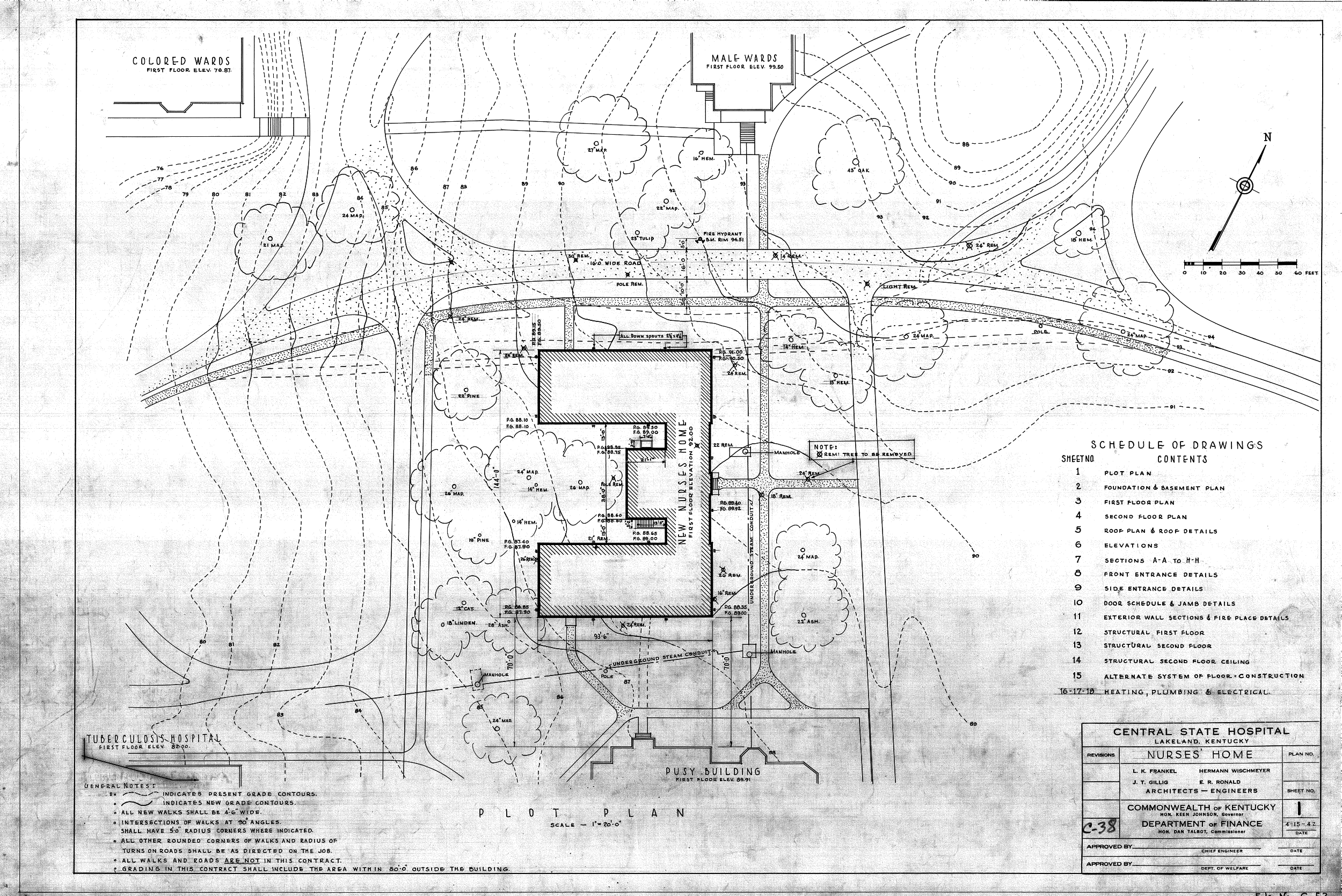
| 22:56, 16 November 2016 | xC-0052.png (file) |  |
1.72 MB | Plot plan of the nurses' home, 1942. Category:Floor Plans and Maps | 1 |
| 22:58, 16 November 2016 | xC-0286 Site surveyxx.png (file) |  |
434 KB | Site survey for renovation of east wings of the Kirkbride, 1950 Category:Floor Plans and Maps | 1 |
| 23:30, 15 November 2016 | xadmin 1944.png (file) |  |
673 KB | Proposed exterior renovation of the admin building, 1944 Category:Artist Rendering | 1 |
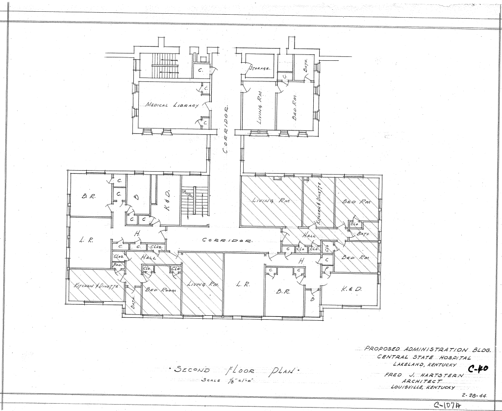
| 23:27, 15 November 2016 | xadmin 1944 1stfloor.png (file) |  |
258 KB | 1944 renovation of the admin building Category:Floor Plans and Maps | 1 |
| 23:28, 15 November 2016 | xadmin 1944 2ndfloor.png (file) |  |
267 KB | 1944 renovation of the admin building Category:Floor Plans and Maps | 1 |
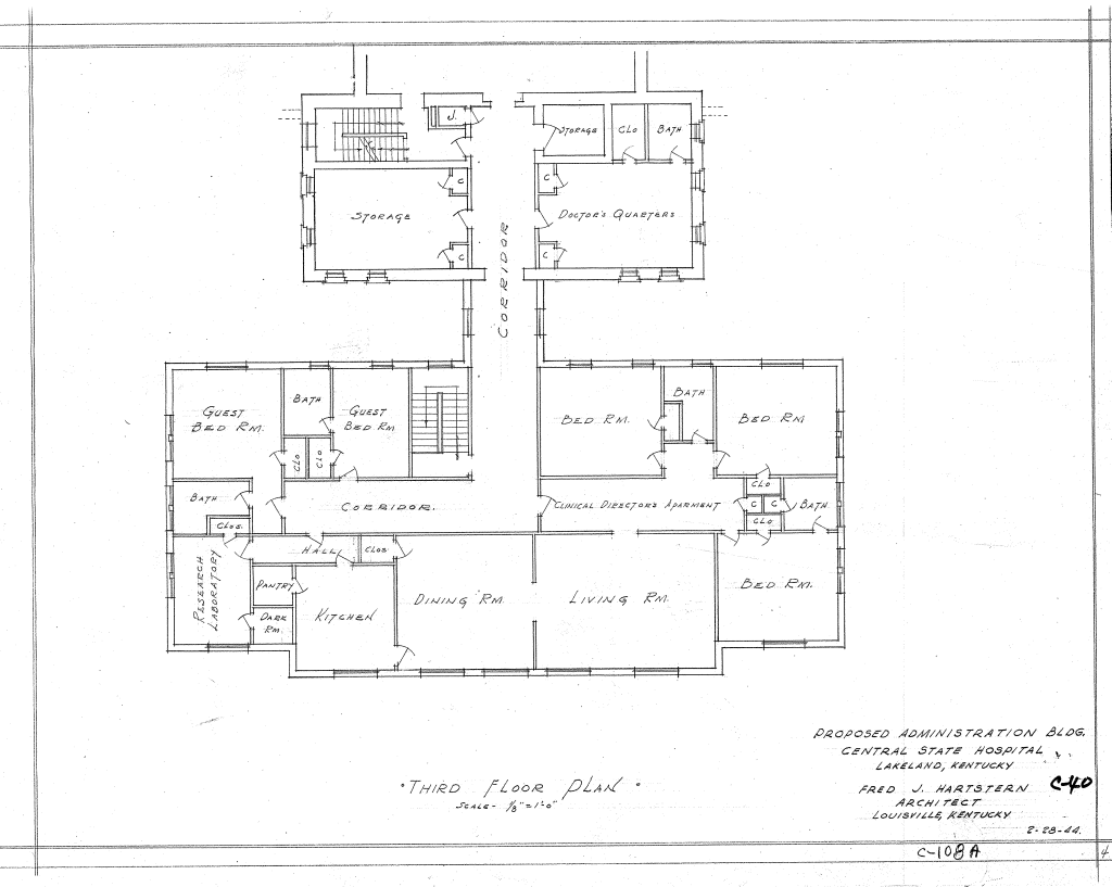
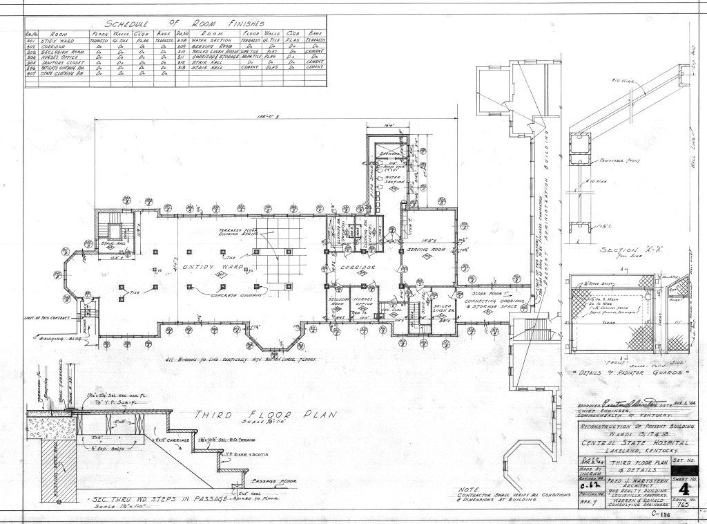
| 23:29, 15 November 2016 | xadmin 1944 3rdfloor.png (file) |  |
232 KB | 1944 renovation of the admin building Category:Floor Plans and Maps | 1 |
| 23:03, 16 November 2016 | xafricanamericanward plot.png (file) |  |
425 KB | African-American ward, aka Merritt Building ca. 1943 Category:Floor Plans and Maps | 1 |
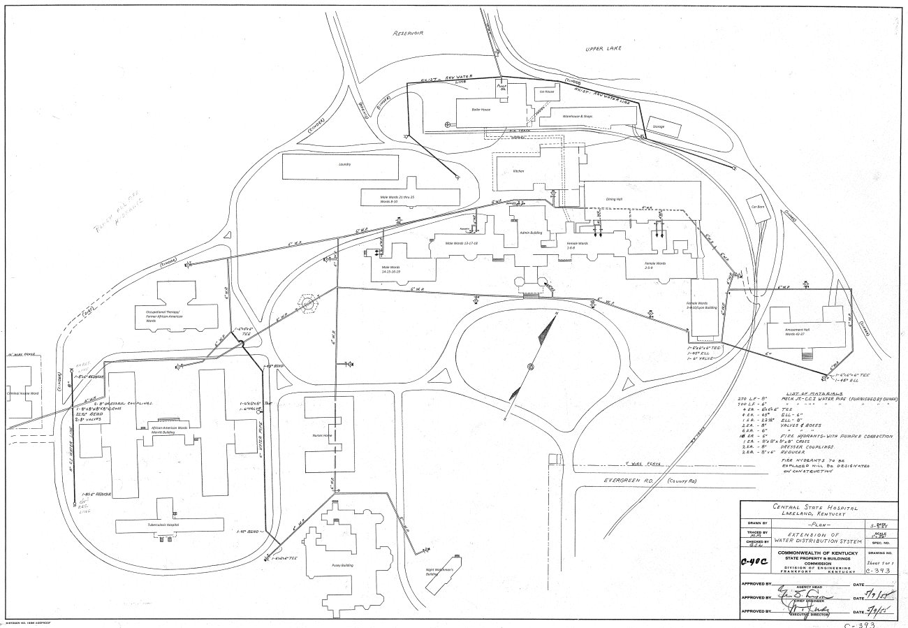
| 23:20, 16 November 2016 | xcampus 1955.png (file) |  |
457 KB | 1955 campus map Category:Floor Plans and Maps | 2 |
| 23:01, 16 November 2016 | xeast kirk1950 2ndfloor.png (file) |  |
430 KB | East wing of the Kirkbride, 2nd floor, 1950 Category:Floor Plans and Maps | 1 |
| 23:02, 16 November 2016 | xwest kirk3rdfloor 1944.png (file) |  |
296 KB | West wing Kirkbride, 3rd floor, 1944 Category:Floor Plans and Maps | 1 |
| 22:23, 3 April 2012 | yankton11.png (file) |  |
741 KB | Undated aerial photo Category:Aerial Image | 1 |
| 21:24, 21 August 2012 | yankton1928.jpg (file) |  |
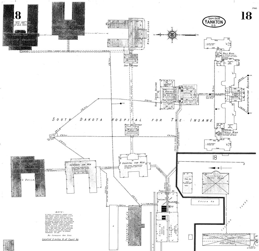
155 KB | Sanborn map from 1928 | 1 |
| 21:19, 21 August 2012 | yanktonsan.jpg (file) |  |
133 KB | 1912 Sanborn map of the hospital | 1 |
| 20:38, 2 April 2013 | yanktonsdsh.png (file) |  |
342 KB | Category:Artist Rendering | 1 |
| 23:59, 25 January 2013 | yarrabend.png (file) |  |
613 KB | 1 | |
| 00:08, 8 September 2016 | yeagerK.jpg (file) |  |
505 KB | 1 | |
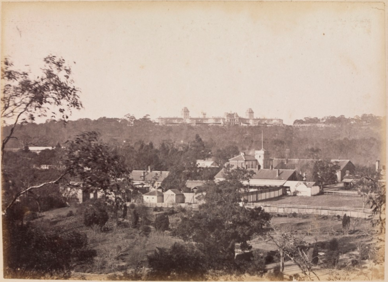
| 21:50, 29 March 2013 | york.png (file) |  |
410 KB | Category:Exterior | 1 |
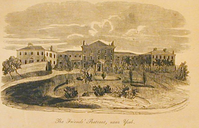
| 22:07, 29 March 2013 | york1.png (file) |  |
396 KB | Category:Exterior | 1 |